Mining

Geological modelling, mine planning, drone surveys, volumetric analysis, and environmental monitoring β€” powered by GeoAI and 3D reconstruction.

Mining Solutions

From exploration to reclamation.

πŸ—ΊοΈ

Geological Modelling

3D subsurface models from drill data, geophysics, and remote sensing.

πŸ›°οΈ

Drone Surveys

Automated orthomosaic, DEM, and volumetric calculations from UAV data.

πŸ“Š

Volume Analysis

Cut/fill calculations, stockpile measurement, and progress tracking.

βš™οΈ

Mine Planning

Pit optimization, haul route design, and scheduling.

🌿

Environmental

Vegetation monitoring, water quality, and reclamation tracking.

πŸ”’

Safety & Compliance

Geotechnical monitoring, slope stability, and regulatory reporting.

Real Evidence

See it in action.
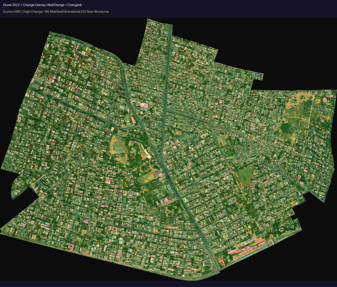
Drone change detection

Drone-captured mining site with automated change detection overlay from geospatial analysis

350+
Engineering capabilities
11
Domain workbenches
25+
Capability packs
7
Deployment modes

Explore More

Turn complex technical work into executable outcomes.

From intent to verified engineering artifact.